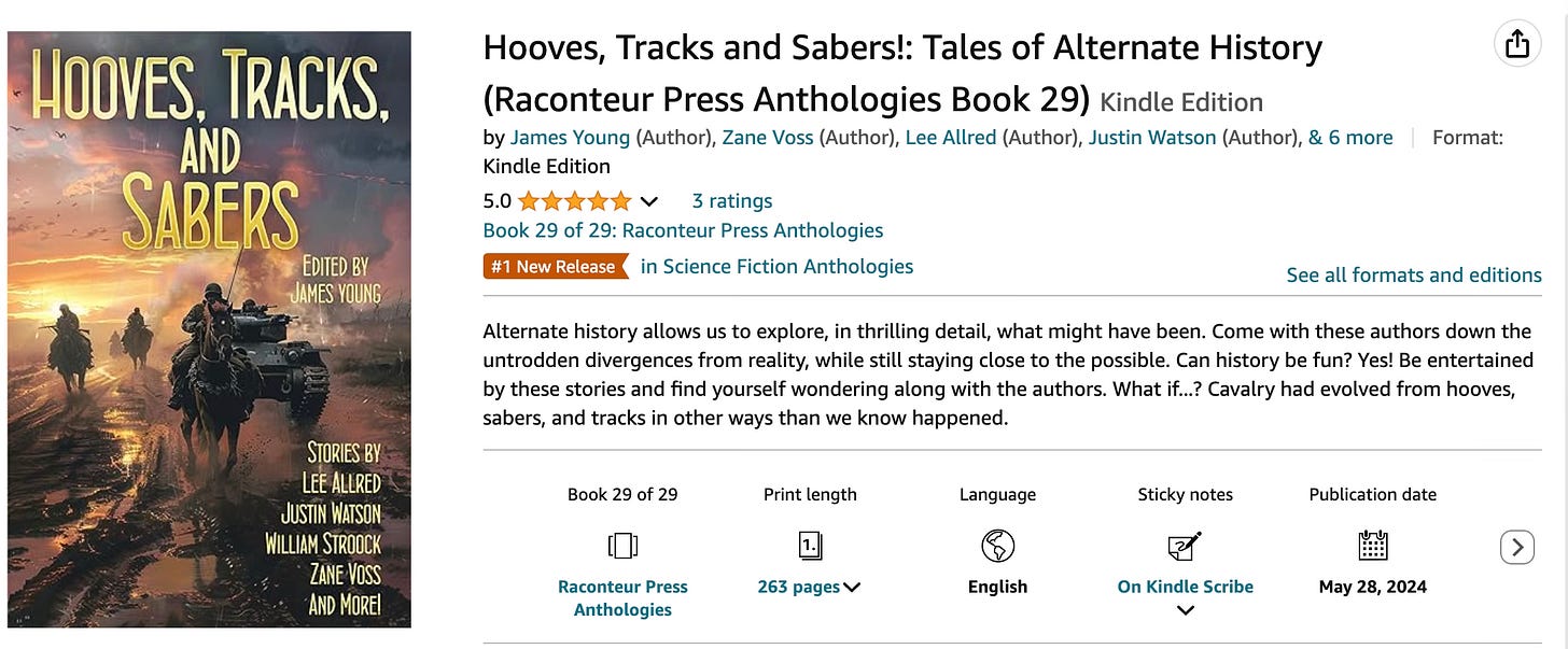
Hooves, Tracks, and Sabers has been out for a little while now and has been doing extremely well! Look at that orange tag of a #1 Best Seller in its category!
My story in this anthology, titled “Allies,” was a really fun, interesting opportunity to flesh out my Lions of Hamilcar universe a little more. I’d written one story already (Tides of Malta in Raconteur Press’ Falcons of Malta anthology), and I used this story to put together some background and get to know the character of Masinissa a little better.
In 216 BC Masinissa of the Massylii was the commander of an army loyal to Carthage that was tasked with fighting a rebellion of another Numidian tribe led by Syphax, King of the Masaesylians. At this time Carthage was fighting on a number of fronts: Africa, as we have seen, Spain, Italy itself, was meddling in Sardinia and Corsica, and would soon support the rebellion of Syracuse.
Carthage was not so much of an empire as we would think of it. Carthage’s ‘empire’ was primarily commercial, with Carthaginian merchants enjoying wide powers to wheel and deal while others (Greeks, Egyptians, etc.) were discouraged or forbidden from trading in Carthaginian territories.
Even so, a number of peoples owed Carthage a sort of fealty. The Numidians featured in this story were one of those, along with the native Libyans I also mention. these peoples were not always the most restful of subjects, as evidenced by the many rebellions Carthage fought over the years. The Numidians, in fact, would be one of the peoples that eventually switched sides and fought for Rome, aiding in Carthage’s defeat.
And in North Africa, Carthage was embroiled in a conflict with the most powerful of the Numidian tribes: Syphax’s Masaesylians. When I began thinking about this story I knew I needed to make the battle a good one. We know basically nothing about the conflict in North Africa at this point, other than the knowledge that Masinissa secured a decisive victory that brought Syphax back into the fold. Carthage ended up concluding a peace with Syphax that gave him more Numidian territory in exchange for renewed loyalty.
Full disclosure: I have played with the timeline somewhat, so what you see in my work doesn’t match up exactly with what some sources say. Hey, this is Alternate History, isn’t it?
When I went looking for someplace to have a battle, I started looking around in Google Maps at the area of modern Constantine, Algeria. In this time period the city was known as Cirta and the area looked much different than it does today. North Africa was much wetter in this era, with extensive vegetation and heavy cultivation in some areas. In fact, this was one of the things Cato used to justify his famous ‘Delenda Est Carthago’ speach: he pulled a huge, ripe fig from his robes which he’d brought directly from his mission to Carthage, illustrating that Rome’s enemy had once again grown rich.
If you’re using real-world places, Google Maps and Google Earth are your friend. There are all sorts of map modes that are handy, including satellite images, terrain, and street view. These are a fantastic tool for seeing what things looked like now, and might have looked like in the past. For example, when looking around in a terrain map I found this little spot right here.

This is a small pass in the ridgeline leading west from Cirta. It’s the only pass in that ridge easily accessible for a large force for almost eight miles. If the pass was blocked, one would have to retreat back down the slope and move a long ways northwest to find a passable route to the end of the ridge. It’s nearly twenty-five miles to get all the way around.
Perfect.
Today that pass is fairly wide, about 200 meters. But this story happened 2, 240 years ago, so I figured it has weathered a little bit and was narrower then. Throw in some fig or olive orchards on the southern slopes to hide Masinissa’s troops and waiting spearmen, and I have a spot tailor-made for a brutal ambush.

I got lucky here. This spot was just about perfect. But what if there’s not an existing spot that’s perfect?
Well, change it. Maybe don’t bend it out of all recognition, but make it suit your needs.
Need the pass to be narrower? Boom, it’s now a narrow, rocky cleft. Need to create some mountains? Turns out the North African and European plates are really jamming up against each other in my version of history and the mountains were pretty tall back then.
This is fiction, and your readers will hopefully give you a little bit of understanding if you smudge the facts a little bit. Go ahead and throw that ‘alternate’ in alternate history!
Bit of a side note-I am going to be taking some time off here shortly. My wife and I are expecting our third child here shortly, so we’ll have our hands full just staying awake for a bit. I’ve scheduled a few posts for while I’m off, so there will be some content, but I might be slow responding to comments.
Thanks for reading and I’ll see you next time!


I used Google Earth extensively in my own story. I had to figure out how to sneak an army of knights onto the battlefield at Hattin. The ground eye view let me see what was visible from the battlefield, and what wasn’t.